Note: This is a working DRAFT
For comments or suggestions contact Bob Cottrell, Curator, Conway Public Library's Henney History Room at 603-447-5552.
for a map and directions to this site, theclio
For cell phone "theclio" entry see the link here.


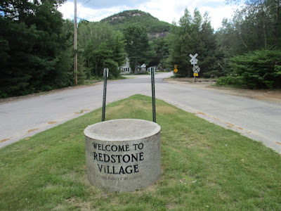
from parking area, cross rr tracks, important part of why the site here

can also be seen in this photo


 sdfjlsdjlj

For cell phone "theclio" entry see the link here.


x
add poster 100 years of the store

x
crafts, and items sold
some in the collection of the CHS and the CPL HHR


stand for totem pole
x


There was a plaque with a legend/list explaining the parts of the totem pole.

July 11, 1965 Stephen Laurent, Shirley and Solon Colby (author).


a brochure shows at one time a dome shaped wigwam

lasdfj

The National Register nomination of x year records a conical (tipi or teepee) shaped "wigwam" sheathed in birch bark

This photo shows the wigwam in relation to the gift shop on the left and the cabins on the right.

Note the word x written in sticks above the entrance


x

x
x
For more information contact
xyz
add more photos fuji from bcltp
C:\Users\chino\Pictures\places dell 14-5000\abenaki site
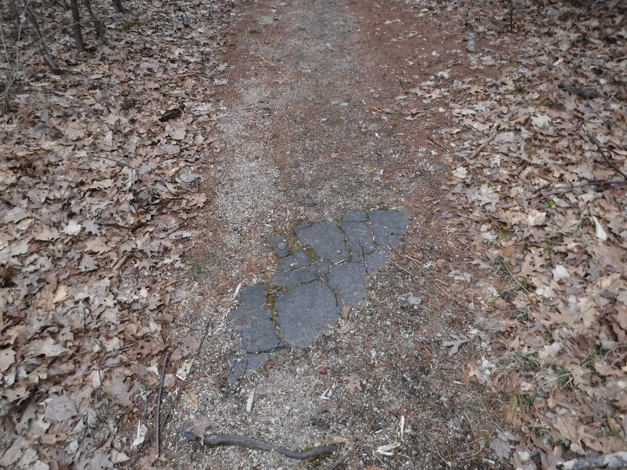
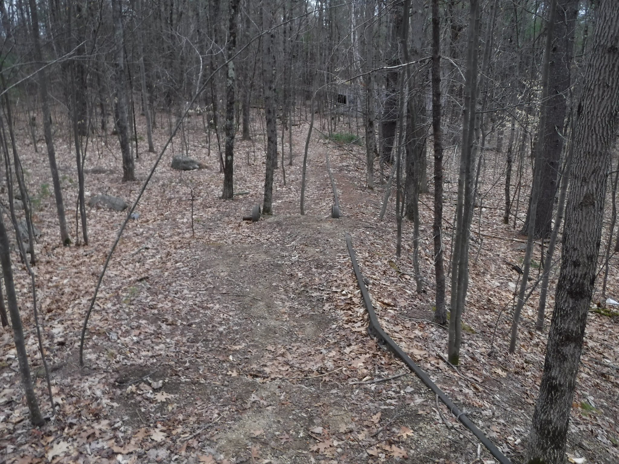
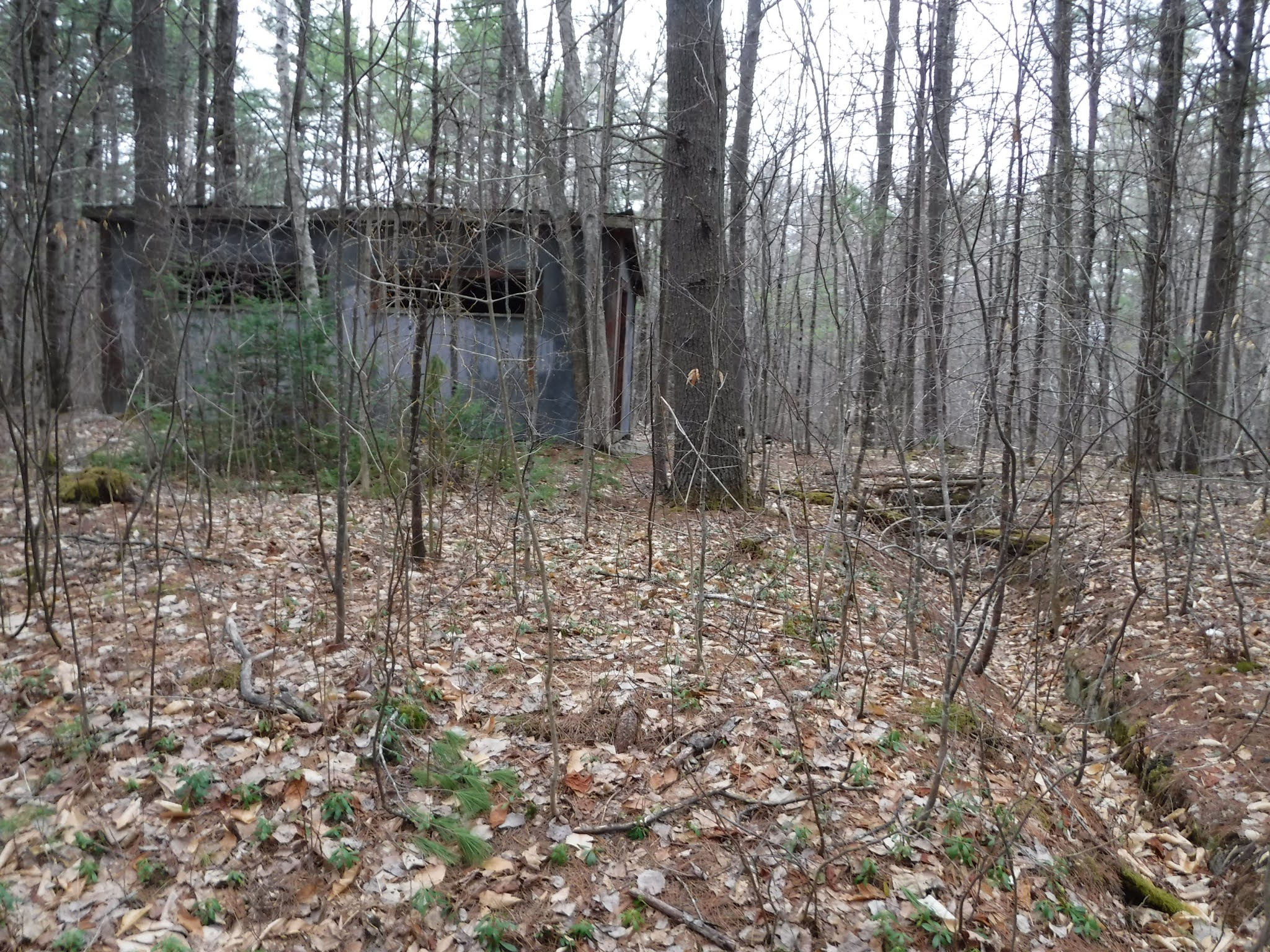
Site Layout
This series of photos helpful for getting the lay of the land, moving from north to south, left to right as viewed from the parking area

The train was an important part of the site
the gift shop was shed for train company
train still runs by there today
insert picture intervale train sign, blue
plaque for Kennett Corp stone
x

x
notice how the trees have been removed or cut back compared to what you will see today.
we will see later some important about those trees
x

hotels, tourism,
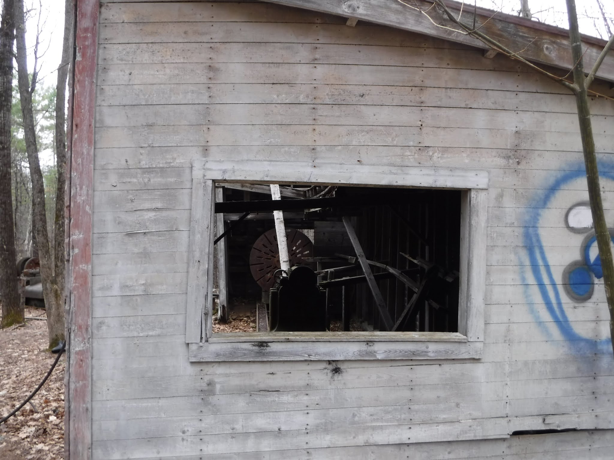
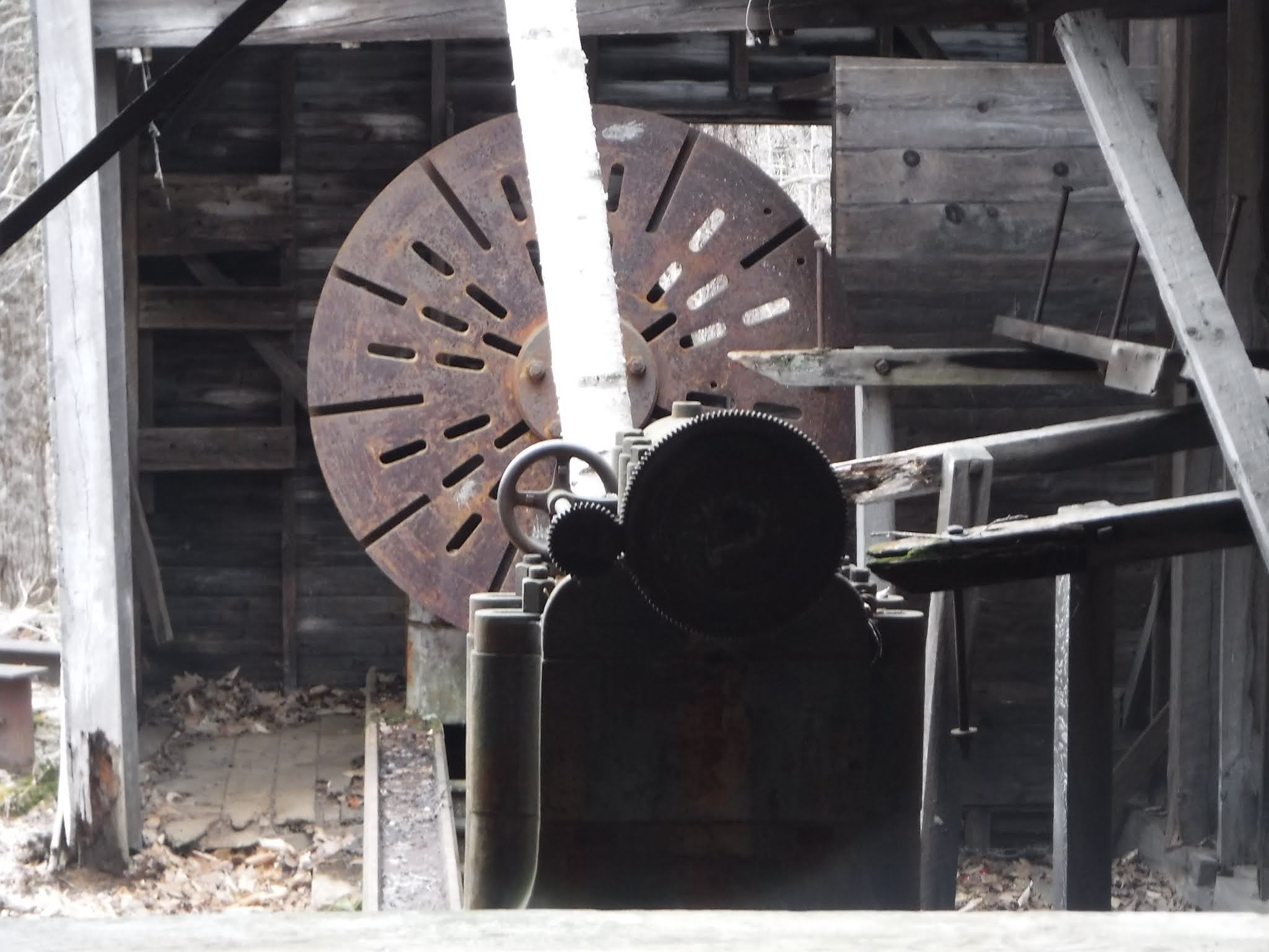
gift shop old tool shed?
the trees planted, labelled in 4 languages
blue spruce, cedars not as common in this area but important for lifestyle
tie to abenaki canoe project? abenaki trails
email them this link
insert pic nature
a brochure explains that some of the trees and shrubs were planted with an eye to representing the greatest possible variety of local conifers identified by small markers bearing their names in four languages, Abenaki, English, French and Latin
the stone plaque installed x year
sign on the right reads, "x" (click on images to enlarge them).

as well as the larger sign beyond, this sign can now be found in nearby Cannell's Old Fashioned Country Store.

insert pic of that
x

x
Layout of site and uses of structures. compare map above from brochure, map below from national register nomination p. 23

x
x
detail national register map showing features

x
Note: cabin 2 and 5 removed, leaving three cabins in this area
redo drawing, trace, make 2 and 5 empty box like 7 to indicate removal
Legend:
1 Gift Shop
2 Cabin A Storage/Cabin (removed after listed on national register)
3 Cabin B Residential/Office (Stephen Laurent)
4 Cabin C Kitchen/Sleeping for women
5 Cabin D Sleeping/Bath (Emanuel) removed after damaged by falling tree
6 Cabin E Sleeping/Storage (Emanuel)
7 Former Location of Wigwam/s (see reporter news, etc. for detail on the burning of this)
8 Flagpole base
9 Totem Pole base
10 Monument to Joseph Laurent
x
there were 5 cabins (all considered "contributing" buildings)
old brochures found in the gift shop, yield history, now in the collection HHR and being cataloged

brochure
A variety of brochures promoted it "The Abenaki Indian Shop." as "a kind of step into the past."
established in 1884
open daily June 15 to October 15 from 9:30 am - noon and 1 pm - 5:30 pm.
advertised "genuine Indian products" including moccasins, baskets, jewelry, toys and books on Indian history.

Today a new kiosk helps reconstruct the history of the site.

plaque for Kennett Corp stone
x Pequawket plaque at the north

x
In the 1880s, Abenaki Chief Joseph Laurent and his family began annual summer trips from their home in Odanak, Quebec, Canada to New Hampshire. At first, they spent summers in Center Harbor. During one of the visits, Laurant met the proprietor of a hotel near here and was offered the use of land here for a seasonal camp. This location was scenic and convenient to nearby hotels and the railroad depot.
Laurent constructed several cabins and began a successful enterprise of selling crafts and providing entertainment to tourists visiting the area. Every summer, Laurent and his family would lead a small band of Abenaki Indians to the camp where they would sell their wares to tourists and locals alike. Laurent operated the camp on a seasonal basis for 33 years until his death in 1917.
x
Over the years the Laurents were important sources of information about Abenaki history and culture for famous anthropologists and historians such as Frank Speck, A. Irving Hallowell, Solon Colby and John Prince. The Laurents were scholars in their own right as well. In 1991 this site was entered into the U.S. National Register of Historic places in part “because of its association with Chief Joseph Laurent, one of three internationally-recognized native scholars responsible for documenting the Western Abenaki language.” His work on grammar, vocabulary, place names, and dialogues was published in 1884, under the title New Familiar Abenakis and English Dialogue.
His son Stephen continued operating the site for many more years. Stephen also continued the scholarly work of his father, and wrote or contributed to many books and articles and published a French-English-Abenaki dictionary in 1995.
x
advertisement for 1893 season, perhaps at the hotel/s? no it says intervale junction, across from the railroad station
x

x
insert aerial photo, on loan from Howard Hatch, copy at the Intervale Scenic Vista
x
Gift Shop
The Abenaki Indian Shop was opened here in 1884 by Chief Joseph Laurent and a group of Abenaki from Odanak in Quebec, Canada as part of a summer colony.
Originally the building was a shed used by the railroad for handcar and tool storage. Chief Laurent bought it and made it into a store.
It became the headquarters for a flourishing seasonal trade in baskets and other handcrafts and Indian products such as toys, fans, bark and wooden canoes, bows and arrows, drums, pipes, moccasins, jewelry, as well as maps and books. As the original group of summer migrants died off, Laurent’s family carried on the store offering a variety of crafts and products which celebrated Native American heritage. A number of these items can be seen at the Conway Historical Society and the Conway Public Library.
x
x
Gift Shop
add poster 100 years of the store

x

x
crafts, and items sold
some in the collection of the CHS and the CPL HHR
x
Crafts
Many Native tribes in North America use sweetgrass in prayer, smudging or purifying ceremonies and consider it a sacred plant. It is usually braided, dried, and burned. Sweetgrass braids smolder and doesn't produce an open flame when burned. Historically, sweetgrass and ash baskets were made and sold in great quantities. Women made decorative or “fancy baskets from ash and sweet grass. Popular styles were sewing or knitting baskets, pencil holders and waste baskets. Large utilitarian baskets were made by men. The Abenaki are still known for their intricate basketry. The summer inhabitants of the camp made and sold such baskets as well as other handmade items such as beadwork, bone work, moccasins, and other leather craft.
Baskets were sold both at their store and at local hotels. Early in the season, baskets were sent to the area hotels and gift shops
and were sold on consignment. These were novelty items that were very popular with guests. By the 1920’s, at least fifteen places sold their baskets on consignment: the Balsams at Dixville Notch, the Summit house on top of Mt. Washington, the Mountain View House at Whitefield, the Crawford House at Crawford Notch, and in Twin Mountain. Baskets were also sold in Maine, as far away as Rangeley, Bridgeton, Sebago Lake and Lovell.
x
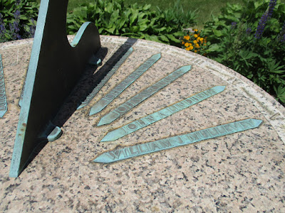
Chief Joseph Laurent Memorial Plaque
Chief Joseph Laurent was a revered member of the community. In 1902, he was recognized as the legitimate successor of the seventeenth-century Abenaki leaders in New Hampshire when he was invited to be the guest of honor at the unveiling of a memorial plaque commemorating Wonalancet, a former leader and almost legendary hero to the Abenaki in New Hampshire. He was later recognized by Governor Wesley Powell at this site through a monument that was erected in 1959 as a memorial to Chief Laurent.
x
Monument to Joseph Laurent
x


x
x
The Laurent Family
x
 note the carved pipe, more on that later, Rodney Woodard

x
x
flag pole site
insert pic of the flag on the flag pole
x
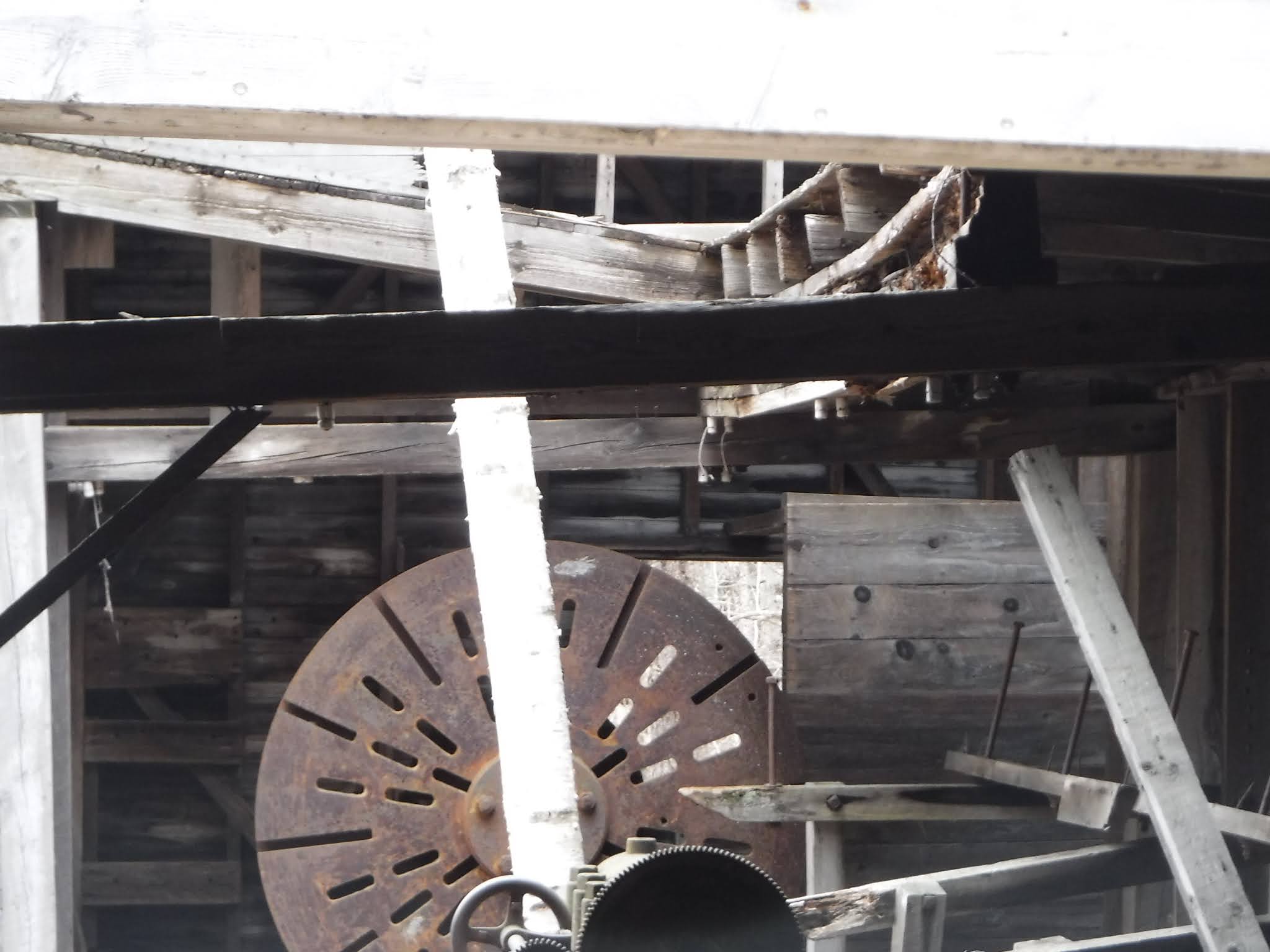
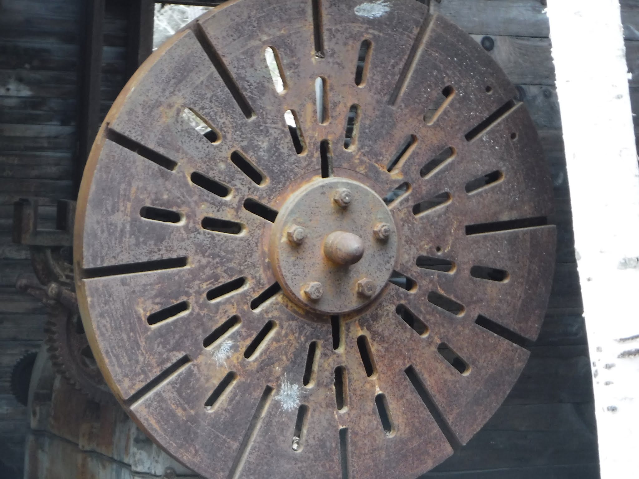
Totem Pole

stand for totem pole
x
The Totem Pole
The totem pole was carved by Theophile Panadis and dedicated in 1960. It stood over forty feet high. The totem pole featured symbols of tribal history including a bear, turtle, sturgeon, Glooskap (story-teller), and thunderbird. The pole was dismantled in 1982 due to its rapidly deteriorating condition.
x

x
pics what survived of totem pole from chs collection, with paper photo studio
x


Archealogist, Indianologist, author of Colby's Indian History...


x
Wigwam
a brochure shows at one time a dome shaped wigwam
x
another version of wigwam illustrated in one of the brochures
x

x
x
lasdfj

Wigwams and a “step into the past”
“Wigwam” is the Abenaki word for house. Chief Laurent raised several wigwams at the camp and was often seen there in full traditional regalia as a “kind of step into the past.” Above the door he placed a sign that said “welcome” in both English and Abenaki.
Wigwam: c.1970. Noncontributing Building: The only remaining dwelling from the model Indian village erected by Stephen Laurent is one wigwam constructed around 1970. In design and construction, it combines the traditional form (conical) and materials (overlapped sheets of birch bark), as recorded for the Eastern Abenaki (Snow, 1978b:139), MalisseetPassamaquoddy (Erikson 1978:123), and Micmac (Bock 1978:112-113), with modern metal materials. It is a conical structure formed by spruce logs 2" to 3" in diameter that are lashed together at the apex with alder sprouts and wire. Near the top of the cone, a metal tire rim is used as a structural element. Below the projecting tips of the frame, the outside is sheathed in sheets of birch bark, each approximately 2' x 3' , laid laterally over the frame and affixed with staples. Over the door is a sign constructed of birch bark letters which reads, "KOLIPAION, " which is the Abenaki word for "welcome."


Note the word x written in sticks above the entrance
this means welcome in Abenaki
x
K’OLI-PAION
“Welcome” in the Abenaki language.
x
check chs might have this walking stick in chs collection, or one similar
similar to what English Jack made, link to you don't know Jack here.
similar to what English Jack made, link to you don't know Jack here.
x

x
not sure where this one was located
not included in the National Register Nomination form of x year.

x
Other interpretive structures included a statue of Pamola described as an Indian hobgoblin (half bird, half man), drying rack, and canoe.
x
Cabins
x
Cabins
Each summer members of the Odanak Abenaki would travel to this site and set up camp in cabins and wigwams. On the average, fifteen to eighteen men and their families came each year. Guests at local Inns and other tourists would visit the camp to watch crafts being made, traditional foods cooked over an open fire and dances performed in traditional clothing.
cut this one and just use the one up top? or keep this to be close to cabin descriptions?
insert map of the cabins from national register nomination p. 23
x
x
Layout of site and uses of structures.
Note: cabin 2 and 5 removed, leaving three cabins in this area
redo drawing, trace, make 2 and 5 empty box like 7 to indicate removal
Legend:
1 Gift Shop
2 Cabin A Storage/Cabin (removed after listed on national register)
3 Cabin B Residential/Office (Stephen Laurent)
4 Cabin C Kitchen/Sleeping for women
5 Cabin D Sleeping/Bath (Emanuel) removed after damaged by falling tree
6 Cabin E Sleeping/Storage (Emanuel)
7 Former Location of Wigwam/s (see reporter news, etc. for detail on the burning of this)
8 Flagpole base
9 Totem Pole base
10 Monument to Joseph Laurent
x
there were 5 cabins (all considered "contributing" buildings)
Layout of site and uses of structures. see map from national register nomination
copy text on the cabins pp. 5-7
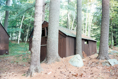
Cabin A: o.1884-1910. Contributing Building:
This is the only non-residential building of those constructed by
Chief Joseph Laurent at the camp between 1884 and 1910, and
throughout the period of the successful ash-splint basket business
(1884-1960) it functioned as a place to store baskets (S. Laurent
1989 interview). It is 1 1/2 stories, set directly on the ground or with minimal support on chunks of granite rubble, measures
approximately 12' x 15', and is sheathed with vertical board
siding. Much of it has been left open. Windows in both the north
and south ends are open as are horizontal rectangular windows on
the east and west. The building is entered by a door in the north
gable end.
Cabin B: c.1884-1910. Contributing Building: This is one of the original cabins constructed by Chief Joseph
Laurent between 1884 and 1910, a residential building most closely
associated with Stephen Laurent as his principal residence until
his marriage in 1952. The building is 1 1/2 stories, constructed
on a wood frame, and approximately 12' x 15' . It has a gable roof
of green asphalt shingles, entries on the north and east
elevations, and horizontal rectangular casement windows centered
on the east and west elevations. Around 1940, it was sheathed in
shingles, another rustic siding typical of the motel and resort
eras. About 1950, it was set on a block foundation by contractor
John See; and the interior was insulated and sheathed in
plasterboard.
Cabin C: o.1884-1910. Contributing Building.
This is one of the original cabins constructed by Chief Joseph
Laurent between 1884 and 1910, and historically it served as the
kitchen cabin all of the meals for the entire camp were prepared
here; some cooking was done out of doors. Chief Joseph's wife and
daughter lived on the second floor. (The men and women slept in
separate cabins when non-family members were present.) It is 1
1/2 stories, of wood frame construction, set on the ground or with
minimal support by chunks of granite rubble, and is approximately
12' x 15' in size. It has a gable roof sheathed with green
asphalt shingles, a square brick exterior chimney located south of
the window on the east elevation, and a door centered on the west
elevation. Around 1940, it was sheathed in shingles.
Cabin D: o.1884-1910. Contributing Building:
This cabin is one of the original buildings constructed by Chief
Joseph Laurent between 1884 and 1910. Historically, this building
and Cabin E are closely associated with Emanuel Laurent, one of
Chief Joseph's sons. The cabin is 1 1/2 stories, 12' x 15' in
size, of wood frame construction, and set on the ground or with
minimal support by chunks of granite rubble. A door and granite
steps are centered on the south elevation. It is lit by
rectangular casement windows on each side. The cabin has a gable
roof sheathed with green asphalt shingles, and its exterior is
sheathed with shingles added about 1940.
Cabin E: c. 1884-1910. Contributing Building;:
This cabin is one of the original buildings constructed by Chief
Joseph Laurent between 1884 and 1910. Historically, this building
and Cabin D are closely associated with Emanuel Laurent, one of
Chief Joseph's sons. The cabin is 1 1/2 stories, 12' x 15' in
size, of wood frame construction, and set on the ground or with
minimal support by chunks of granite rubble. A door and granite
steps are centered on the south elevation. It is lit by
rectangular casement windows on each side. The cabin has a gable
roof sheathed with green asphalt shingles, and its exterior is
sheathed with shingles added around 1940.
x

x

x

x
For more information contact
link to museum in Odanack, Ontario, Canada here.
The images and text for this display are by Bob Cottrell, Curator Conway Public Library's Henney History Room.
Funding by the Connie Davis Watson Foundation
Administration by Earl Sires, Town Manager.
Design and fabrication Gemini Signs.
Historic nomination research by Lee Schuh, R. Stewart Wallace. Gary Hume, and Lynne Monroe
Rules and Regulations
This property is managed by the Town of Conway Conservation Commission. The public is invited to enjoy this site for casual recreation and the appreciation of its history. Picnicking, hiking and other low impact leisure activities are encouraged.
We ask that you do not do the following:
Light fires of any kind
Deface or damage any of the buildings or facilities
Take materials from the site
Camping or overnight use
Use motorized vehicles on the site
Please remove all trash when you leave.
xyz